-40%
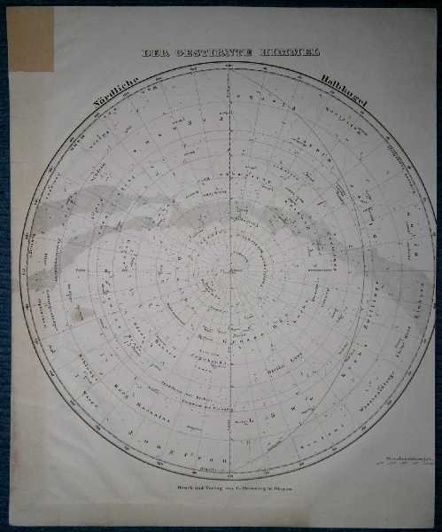
1848 Sohr Berghaus map STARRY HEAVENS (MAP OF SKY) (#2)
$ 21.11
- Description
- Size Guide
Description
Sohr_021848 Sohr Berghaus map STARRY HEAVENS (MAP OF SKY) (#2)
Map
titled
Der gestirnte Himmel,
page size 34 x 41 cm, no fold. From
Sohr, Berghaus: Hand-Atlas, 4th edition, Glogau and Leipzig, 1848
(full title:
Vollstandiger Hand-Atlas der neueren Erdbeschreibung uber alle Theile der Erde in 82 Blattern herausgegben von Dr. K. Sohr. 4t. Auflage vermehrt und verbessert durch Dr. Heinrich Berghaus, Professor u. Director der geograph. Kunstschule zu Potsdam. Glogau und Leipzig 1844. Druck u. Verlag von C. Flemming).
Click here or image for larger version
Buyer pays shipping at cost. I prefer payment by PayPal, but I'll also accept any other payment method and currency (except direct payment by credit card) that is convenient for buyer. I combine shipping of multiple items.
IMPORTANT NOTE ABOUT SHIPPING: Price quoted with auction is for surface mail to European countries. Please don't pay before you receive invoice from me. If shipping address is within Europe I recommend surface mail, you don't gain much time with airmail, it is just more expensive.


